Minanbé: The Maya City With No Road in Campeche
“All roads lead to Rome,” says an old proverb – but to Minanbé, quite obviously, no road led at all.
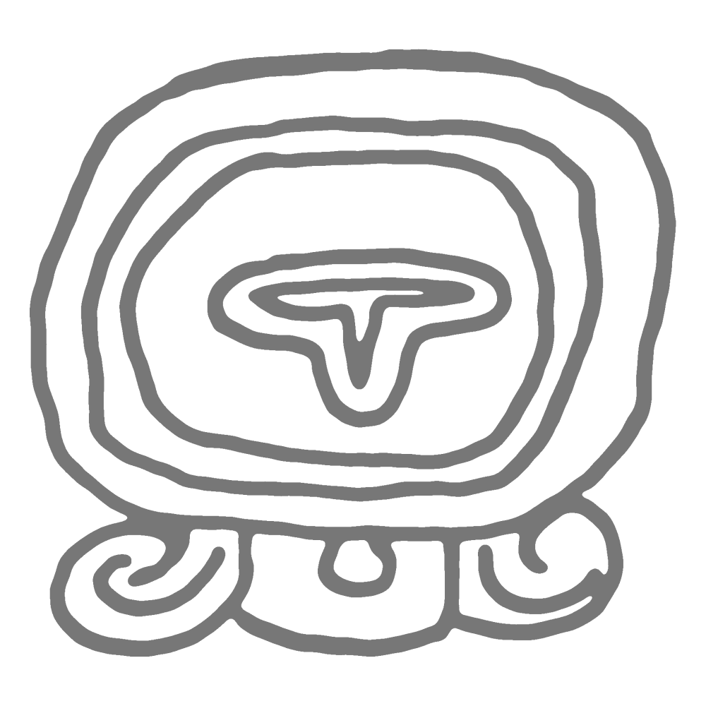
Deep in the jungle of Campeche, a previously unknown Maya center has been documented, a place that did not appear on any archaeological map. Its name almost sounds like a comment on its own rediscovery: Minanbé – in Yucatec Maya roughly “there is no road” or “there is no path” (from mina’an, “there is not,” and bej, “road” or “path”). And that was exactly the archaeologists’ problem: there was no access road, no old paths left by chicle gatherers, the collectors of sapodilla latex once used for chewing gum, no logging tracks, no passage through the forest. Anyone who wanted to reach the place first had to make a way there.
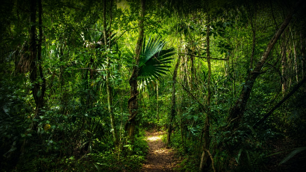
Minanbé lies in the central Maya Lowlands, north of the Calakmul Biosphere Reserve or in its northern surroundings, north of Federal Highway 186 between Escárcega and Chetumal and west of the Chactún area. This region in the south of Mexico’s Yucatán Peninsula had long been only partly known. Archaeologists knew that numerous Maya settlements once existed here, but large areas remained barely investigated because of the dense forest and difficult access. Minanbé shows that these “blank spots” on the map can still hold surprises.
A discovery from the air – and then on foot
The discovery did not begin with an expedition that happened to stumble upon ruins. First, selected forest areas were examined using airborne laser scanning. This method is known as LiDAR. An aircraft scans the terrain with laser pulses; afterwards, the vegetation can be digitally removed. What remains is a terrain model in which artificial elevations become visible: platforms, pyramids, roads, terraces, or water-management features.
In the LiDAR data, one area stood out as archaeologically promising. It lies west of Chactún, a larger center that the same research project had documented around 13 years earlier. But the analysis of the data was only the first step. After that, the team still had to enter the forest.
And that was where the name Minanbé became reality. The team first cut a track of about five kilometers through the forest for ATVs. After that, they still had to cover a similar distance on foot before reaching the monumental core of the site.
The core documented so far covers about 15 hectares. This is not a city on the scale of Calakmul, but it is clearly more than a simple hamlet. Minanbé has monumental architecture, stelae, altars, a sakbe – often written in Spanish and English as sacbe or sacbé –, that is, a raised, paved Maya road, and evidence of organized construction and ritual planning. The core is structured around plazas framed by palace and sacred buildings, as well as terraces and wetlands with artificial water channels.
Video: Minanbé in the official INAH report in Spanish
The following INAH video shows the newly documented site of Minanbé in the jungle of Campeche. It includes footage of the terrain, the architecture, and the monuments. Ivan Šprajc and other archaeologists involved in the project also speak in the video.
Why Minanbé is unusual
New Maya sites are reported more often today than they were a few decades ago. LiDAR has transformed Maya archaeology. Entire landscapes hidden beneath the forest can now be recognized as densely inhabited and carefully shaped cultural landscapes.
Even so, Minanbé is special.
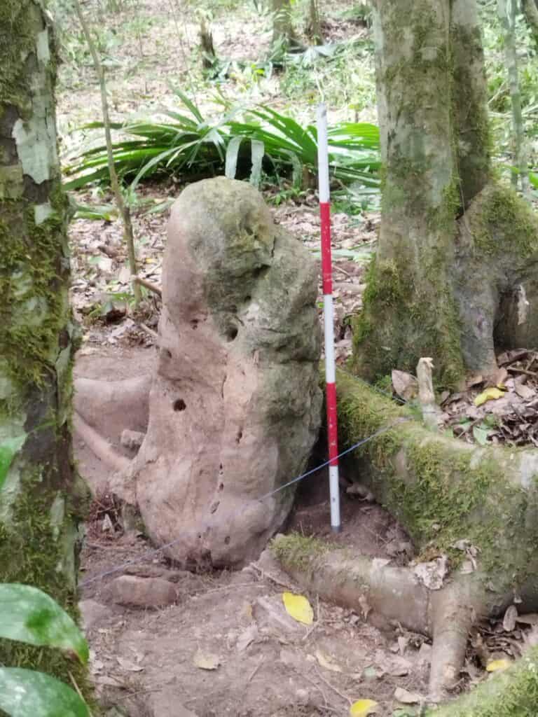
According to the INAH team, it is the first site in three years that the researchers found truly intact. There were no visible traces of looting: no looters’ trenches, no opened tombs, no structures obviously damaged by modern interventions.
For archaeology, that is crucial. A looted site loses more than objects. It loses context. Where an altar stood, how a stela was aligned with a pyramid, which monuments formed an ensemble together – all of this can be destroyed by looting. At Minanbé, many of these relationships still appear to be legible.
The real value of the discovery therefore lies not in spectacular “treasures,” but in the preservation of the place as a connected archaeological context.
A temple in the Río Bec style
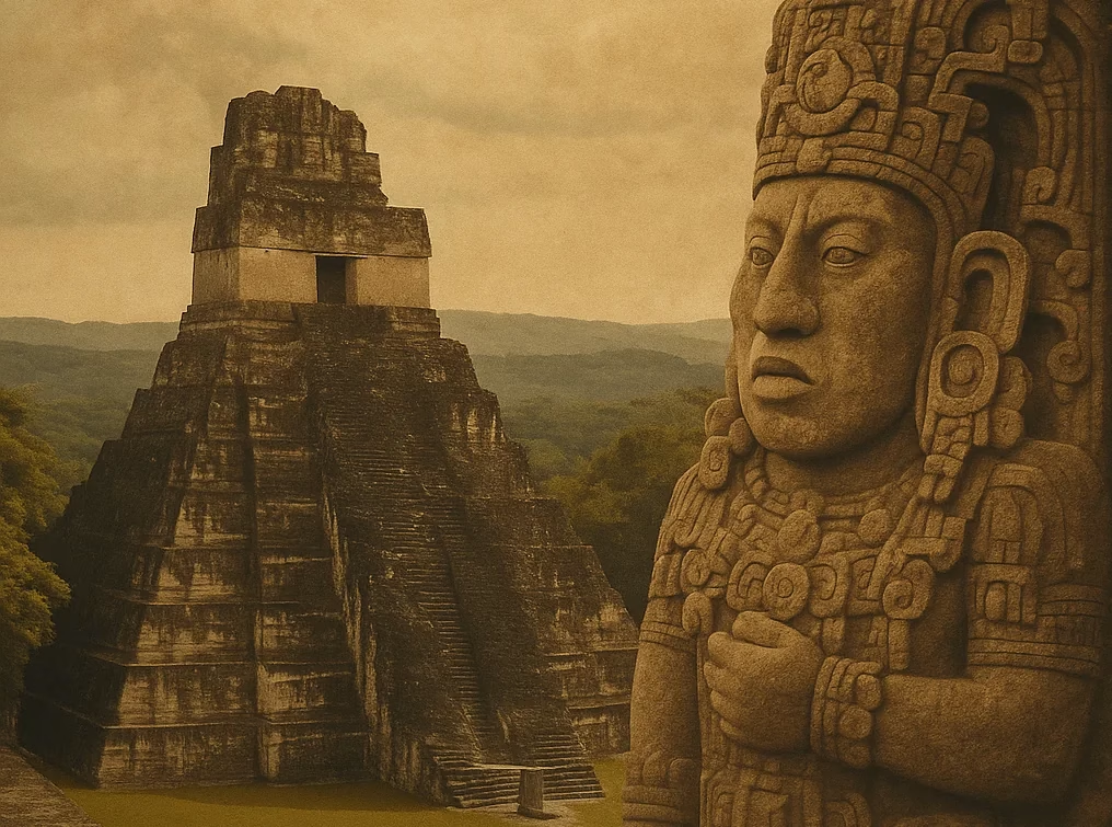
Among the most striking buildings is a temple on a pyramid that rises more than 13 meters high – one of the tallest structures at the site. Its masonry is unusually fine. The archaeologists point to carefully cut stone blocks and smooth wall panels on the façade, a steep stairway, and cornices in the upper section. Vitan Vujanović, who described the building, emphasized that this was the first time he had been able to document a reasonably well-preserved temple – and a stela with still legible glyphs – in this context.
The Río Bec style is a regional architectural form found in southern Campeche and neighboring areas. Many buildings of this tradition look at first glance like functional temple pyramids, but they contain strongly decorative elements. Especially well known are tall, steep towers and stairways that were sometimes more symbolic than practical – even including purely false towers and false stairways.
For non-specialists, one might put it this way: Río Bec architecture was not only construction, but staging. It was meant to impress. It played with height, symmetry, façades, and the idea of sacred power.
The fact that Minanbé shows such features places the site clearly within the cultural landscape of southern Campeche. It was not an isolated outpost, but part of a regional Maya world with its own architectural forms, political relationships, and religious traditions.
The stela with the decapitation scene
Among the documented monuments, Stela 1 stands out in particular – and it was also the first monument that caught the team’s attention. It bears the depiction of a decapitation.
It appears to show a high-ranking figure – perhaps a ruler or warrior – holding some kind of knife or axe. The scene probably depicts the killing of a captive. This cannot yet be stated with absolute certainty, since the glyphs are heavily eroded. But the visual language is clear enough to understand it as a scene of violence.
Such images can be disturbing to modern viewers. In the world of the Classic Maya, however, they belonged to the political and ritual vocabulary of power. Rulers presented themselves as victors over enemies, as mediators between humans and gods, and as guarantors of cosmic order. War, capture, sacrifice, and the calendar were closely connected.
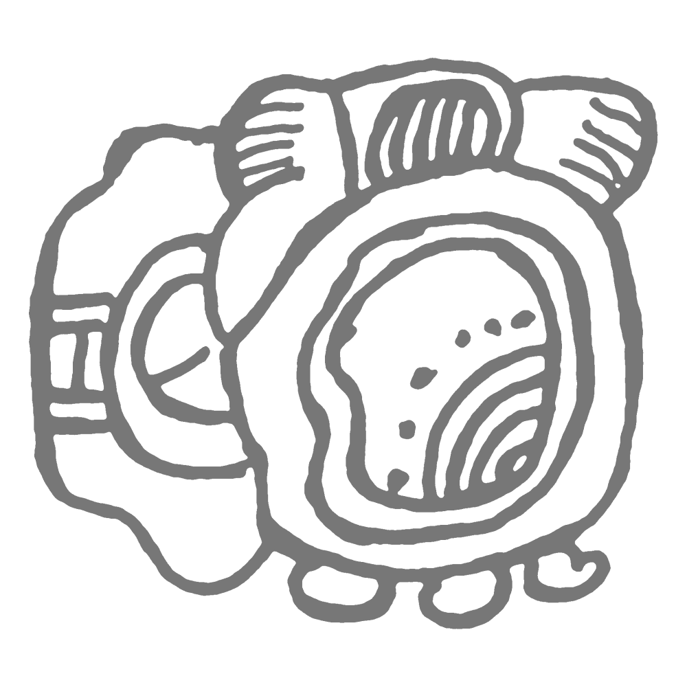
Especially important is a calendrical sign in the upper part of the stela: 5 Ajaw. From this, the project’s epigrapher reconstructed a date: AD 849. This suggests that at least some of the monuments were erected during the Terminal Classic, the transitional phase at the end of the Classic Maya period – shortly before many places in the region were abandoned in the 10th century.
This year falls in an especially fascinating phase of Maya history. Around AD 849, many Classic Maya kingdoms were already in a period of political tension. In some regions, monuments were still being erected; in others, building activity declined. Some cities lost importance, while others were abandoned or changed fundamentally.
Minanbé therefore leads us directly into the transitional period that was once often simplified as the “Maya collapse.” Today, this phase is seen in a more nuanced way: not as a sudden end, but as a long process of regional and highly varied transformation.
Fourteen monuments in a row
In total, the team recorded 14 stelae and altars, several of them with reliefs or glyphs. They stood or lay at the southern end of a sakbe that connects the central sector with the northeastern sector. This striking arrangement makes the ensemble even more interesting than any single stela on its own.
To document their positions precisely, the team carried out a photogrammetric survey. From around 500 individual photographs, three-dimensional models of each monument were created. This will make it easier to investigate later whether the stones originally stood in a line, whether they were moved, or whether they were set up in several different phases.
For the Maya, stelae and altars were not decoration. They were public media. On them, rulers combined images, dates, names, rituals, and political messages. Particularly important were the katun cycles. A katun comprises roughly 20 years. When such a period ended, it was an occasion for ceremonies and the setting up of monuments.
One could say: Maya rulers did not rule only over people and places. They also staged their power over time.
When a king marked the end of a katun with a stela, he placed himself within a larger order. He showed that his rule stood in harmony with the calendar, with the ancestors, and with the cosmos.
Broken stones, changed meanings
The monuments of Minanbé do not speak only of official power. Many of them are no longer in their original position: some are broken, others have fallen, and others appear to have been reset. Alongside round altars, a rectangular one was also found. According to the assessment of epigrapher Octavio Esparza, several of these monuments were deliberately altered.
One example is Monument 6: a broken stone bearing hieroglyphic cartouches on its sides and, on the front, the image of a ruler with a feathered headdress, decorated chest ornament, bracelets, and necklaces. One of these texts apparently contains part of a Long Count date, probably pointing to the late 7th century. Monument 6 could therefore be the oldest known datable monument at the site – significantly older than the decapitation scene on Stela 1.
Such interventions can mean many things. They can express respect, but also distance. They can indicate reuse, but also deliberate reinterpretation. When a monument is broken and repositioned, that is rarely meaningless.
In the case of Minanbé, the researchers even raise the possibility of social or political tensions. Perhaps the treatment of the old monuments was directed against an earlier ruling class. Perhaps old symbols were disempowered. Perhaps later groups tried to claim the place anew for themselves.
This is not certain yet. A detailed scientific publication is still pending. But precisely this uncertainty makes Minanbé interesting. The site shows not only a moment of power, but possibly also the later handling of that power.
A flourishing period between AD 600 and 900
According to the evidence available so far – architecture, ceramics, and inscriptions – Minanbé flourished during the Late Classic, roughly between AD 600 and 900. According to the research project’s assessment, the central Maya Lowlands formed a densely inhabited archaeological landscape during this period, providing a home for an estimated 9 to 11 million people.
This was one of the most dynamic phases of Maya history. In many regions, major building programs, royal courts, stela cycles, trade networks, and political alliances emerged. At the same time, pressure on many kingdoms increased. Warfare, resource problems, dynastic conflicts, and climatic changes probably played different roles in different regions.
Minanbé therefore stands exactly on a threshold in time. The site still belongs to the world of Classic Maya kings, yet some indications already point to later upheavals. The date AD 849 is therefore more than a number. It is a window into a time when the old order was still visible, but may already have begun to crumble.
Ivan Šprajc and the exploration of hidden Maya landscapes
One name is especially closely connected with Minanbé: Ivan Šprajc. The Slovenian archaeologist and archaeoastronomer from the Research Centre of the Slovenian Academy of Sciences and Arts (ZRC SAZU) has worked for around three decades in hard-to-reach regions of the central Maya Lowlands. With this site, he crowns a project devoted to the systematic exploration of exactly those areas that long seemed almost inaccessible.
Šprajc is not a treasure hunter and not an adventurer in the popular sense. His work combines remote sensing, ground survey, mapping, and classical archaeological documentation. It is precisely this combination that is so effective in today’s Maya research. LiDAR reveals possible structures. But the actual archaeological work begins only afterwards: in the field, with surveying, description, photography, drawing, ceramic observation, and inscription analysis.
Šprajc has already been involved in the research and documentation of several important sites in Campeche, including Chactún, Tamchén, Lagunita, and Ocomtún. Minanbé belongs in this same line of work. The discovery is therefore not an isolated event, but part of a long-term exploration of the central Maya Lowlands.
This continuity matters. It shows that the map of the Maya world is not rewritten by isolated sensations, but by patient, systematic work.
The archaeologists in the field
Alongside Ivan Šprajc, other specialists were directly involved in the investigation. The INAH materials name, among others, Atasta Flores Esquivel, Israel Chato López, Quintín Hernández Gómez, and Vitan Vujanović.
Their work is crucial for evaluating Minanbé. A LiDAR structure on a screen is not yet an archaeological interpretation. Only in the field can researchers determine whether they are dealing with a natural elevation, a platform, a temple, or a ruined building. Only there can they see masonry, ceramics, traces of reliefs, break lines, ancient roads, and spatial relationships.
Vitan Vujanović is mentioned in connection with the description of the preserved temple and its Río Bec features. This architectural classification helps to understand Minanbé culturally and regionally.
Quintín Hernández Gómez played an important role in documenting the monuments. The photogrammetric recording of the stelae and altars is more than a technical measure. It creates the basis for analyzing the arrangement later in detail and for reconstructing possible changes in the monuments.
Local workers from the community of Constitución were also involved. With machetes, they opened the kilometers-long track that made it possible for the team to advance at all. Without such support, expeditions in hard-to-reach forest regions would hardly be possible. Paths have to be opened, equipment transported, and camp conditions created. Archaeology in the jungle is teamwork – and a substantial part of it happens before any monument can even be described.
Octavio Esparza Olguín and the reading of the glyphs
A special role belongs to the epigrapher Octavio Esparza Olguín. Epigraphers study inscriptions. In Maya research, that means deciphering heavily weathered glyphs, reconstructing calendar dates, and identifying names, titles, or historical events.
At Minanbé, this work is especially difficult because many glyphs are badly eroded. Esparza evaluated the three-dimensional models using modern image processing. Despite the erosion, he was able to infer a date around AD 849 from the calendrical sign 5 Ajaw.
This shows how important epigraphy is for Maya archaeology. A stela is first of all a stone with images and signs. Only through the reading of the glyphs does it become a historical document. Without this work, we would know far less about the chronology, the political messages, and the possible meaning of the monuments.
What Minanbé tells us about the Maya world
Minanbé does not change our entire picture of the Maya in one stroke. Such formulations are usually exaggerated. But the site adds an important piece to an increasingly clear puzzle.
The Classic Maya Lowlands were more densely populated, more strongly interconnected, and more intensively shaped as a landscape than was often assumed in the past. Forests that look untouched today can conceal former cultural landscapes. Beneath the canopy lie roads, terraces, plazas, water systems, and monuments.
Minanbé also shows how complex the late Classic period was. Around AD 849, monuments were apparently still being erected or renewed there. At the same time, there are indications of later changes, reinterpretations, or ruptures. This fits a picture in which the so-called collapse is not understood as a sudden breakdown, but as a long phase of regional reorganization.
The Maya did not disappear. Their political systems changed. Some cities were abandoned, others continued to be used, some monuments were venerated, others damaged or reinterpreted.
Minanbé may lie exactly at this intersection.
What remains open
Many questions remain unanswered. What was Minanbé called in the Classic period? Was it an independent center, or politically dependent on a larger neighbor? What relationship existed with Chactún or with other cities in the region? Who is the figure on the decapitation stela? Who was the captive? And who later altered the monuments?
The dating and interpretation of the monuments will also become more secure only through further investigation. So far, we know Minanbé mainly from INAH materials, video statements, and initial press reports. A detailed scientific publication has not yet appeared.
For precisely that reason, the discovery should not be made larger than the evidence currently allows. Minanbé is not a proven new great kingdom and not a “Maya metropolis” that suddenly appeared out of nowhere. It is a newly documented, apparently unlooted Maya center with monumental architecture, Río Bec features, and remarkable stelae.
That is more than enough to make it archaeologically exciting.
Conclusion: A place between power and upheaval
Minanbé means “there is no road.” This name describes not only the difficulty of its rediscovery. It also fits symbolically with what the site means for research.
It lies in a region that was long difficult to access. It preserves monuments of a late rulerly world. It shows a scene of violence with a date around AD 849. And it contains indications that later people treated these monuments differently than their original patrons had intended.
Minanbé is therefore more than another “lost city” in the jungle. It is a place where questions of power, memory, violence, and change become concentrated.
The ancient Maya rulers carved their order into stone. In Minanbé, these stones still lie in the forest – some upright, some broken, some repositioned. That is precisely where their significance lies.
Sources and further reading
- Bautizan como Minanbé, “no hay camino”, a ciudad maya virgen al norte de la Biosfera de Calakmul
Official INAH announcement on the discovery and naming of Minanbé. - BAUTIZAN COMO MINANBÉ, “NO HAY CAMINO”, A CIUDAD MAYA VIRGEN AL NORTE DE LA BIOSFERA DE CALAKMUL
PDF version of official INAH Bulletin 259. - Minanbé, la ciudad maya que la selva de Campeche mantuvo intacta durante siglos
Report by El País México with background on the location, discovery, and preservation of the site. - Deep in the Mexican Jungle, Archaeologists Discovered a Lost Maya City That May Yield Clues About the Civilization Just Before It Collapsed
English-language overview from Smithsonian Magazine on the significance of Minanbé for the late phase of the Classic Maya period. - Undisturbed ancient Maya city discovered in Mexican jungle
Article from The Art Newspaper placing the discovery in the archaeological research context of Campeche. - Ancient Maya city found intact in remote Calakmul Biosphere Reserve
Summary by HeritageDaily on the intact preservation of the site, the monuments, and the Río Bec architecture. - Archaeological landscape, settlement dynamics, and sociopolitical organization in the Chactún area of the central Maya Lowlands
Scientific background article on the Chactún region and the settlement landscape of the central Maya Lowlands. - Descubierta una ciudad maya intacta y con un templo de 13 metros tras más de mil años abandonada en medio de la selva de México
Spanish-language report by La Vanguardia on the discovery, focusing on the well-preserved temple and the isolated location in the jungle. - Hallazgo de un nuevo asentamiento arqueológico maya: Minanbé, en Campeche
Official INAH video on the discovery of Minanbé with footage of the site and statements by Ivan Šprajc and other archaeologists involved in the project.