Minanbé: The Maya City With No Road in Campeche
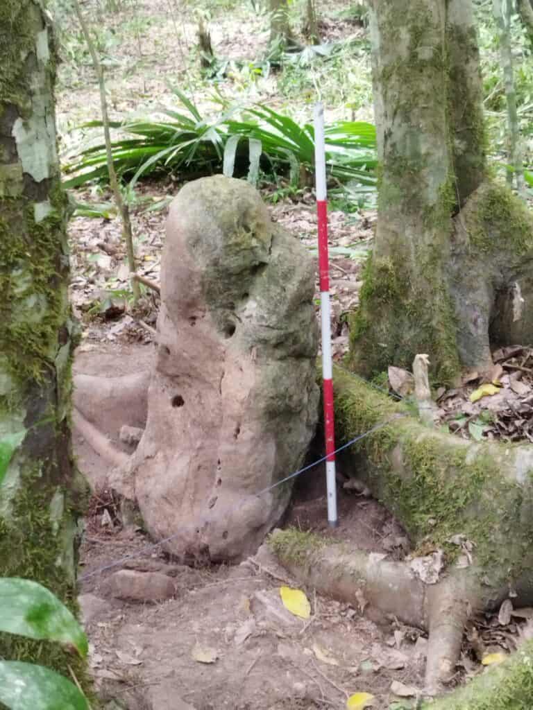
“All roads lead to Rome,” says an old proverb – but to Minanbé, quite obviously, no road led at all. Deep in the jungle of Campeche, a previously unknown Maya center has been documented,...
Your Ultimate Guide to Ancient Maya Temples
“All roads lead to Rome,” says an old proverb – but to Minanbé, quite obviously, no road led at all. Deep in the jungle of Campeche, a previously unknown Maya center has been documented,...
This in-depth analysis explores why the Classic Maya civilization collapsed between 750 and 950 CE, from droughts and trade disruptions to warfare and political turmoil. Featuring insights from Tikal, Copán, Uxmal, and Chichén Itzá, it reveals how Maya culture transformed, adapted, and still thrives today.

LiDAR scans of newly mapped Ocomtún alongside classic sites Tikal, Edzná and Palenque reveal hidden reservoirs, canals and zeolite sand filters. These hydraulic networks blended engineering, ritual and power, shaping Maya city planning, agriculture and myth in the tropical lowlands for centuries of sustainable prosperity.

Recent DNA analyses reveal Maya continuity despite the “collapse”: boys sacrificed at Chichén Itzá corroborate the Hero Twins myth; Copán genomes indicate in-migration from Mexico beginning around AD 400. PSMC models show a population peak around AD 730, followed by a dramatic decline. Post-1500 diseases selected for protective HLA variants.

Archaeologists have unearthed the tomb of Caracol’s founding king, Te K’ab Chaak (c. 350 AD), packed with jadeite finery, obsidian blades, and ritual pottery—proof of early Maya-Teotihuacan ties that reshapes Belize’s dynastic timeline and marks Caracol’s most significant find in 40 years.

It was after midnight when doctoral student Luke Auld-Thomas stumbled upon a forgotten 2013 LiDAR scan of southern Campeche. Stripping away the jungle canopy on his laptop, he watched 6,500 ghost-white structures surface across nearly 50 square miles—a metropolis later christened Valeriana, hiding in plain sight beside Highway 261. Follow Auld-Thomas’s “Google-Earth moment” as archival laser data rewrites Maya geography, reveals twin monumental precincts, a dammed reservoir and population estimates of 30–50 thousand—rivaling Calakmul. Paired with the deep-jungle find of Ocomtún, the discovery proves LiDAR can unveil both highway-adjacent megacities and wilderness strongholds. Dive in to see how ancient urban engineering is inspiring today’s climate-resilient design—and why ethical tourism matters more than ever.