Valeriana Revealed: 6,500 Hidden Maya Structures Change History
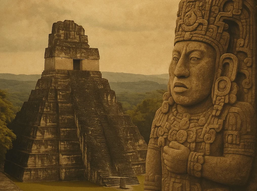
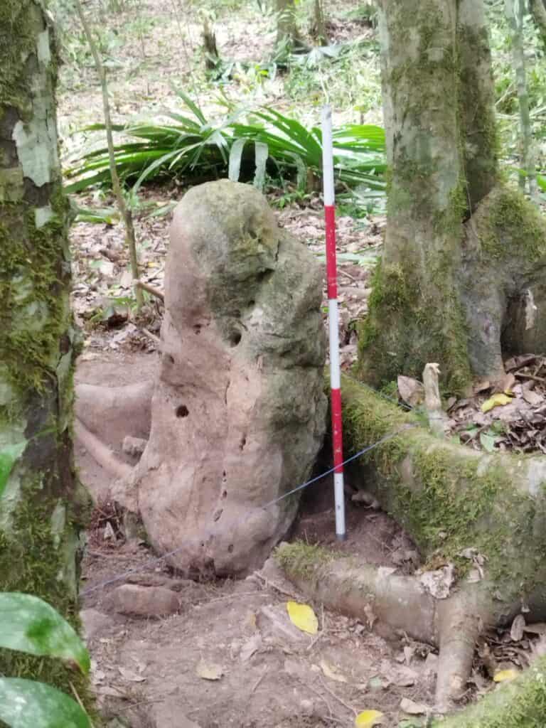
It was after midnight when doctoral student Luke Auld-Thomas stumbled upon a forgotten 2013 LiDAR scan of southern Campeche. Stripping away the jungle canopy on his laptop, he watched 6,500 ghost-white structures surface across nearly 50 square miles—a metropolis later christened Valeriana, hiding in plain sight beside Highway 261. Follow Auld-Thomas’s “Google-Earth moment” as archival laser data rewrites Maya geography, reveals twin monumental precincts, a dammed reservoir and population estimates of 30–50 thousand—rivaling Calakmul. Paired with the deep-jungle find of Ocomtún, the discovery proves LiDAR can unveil both highway-adjacent megacities and wilderness strongholds. Dive in to see how ancient urban engineering is inspiring today’s climate-resilient design—and why ethical tourism matters more than ever.