Yaxhá – Pyramids, Temples, a Lake and the Jungle
The amazing Maya city Yaxhá is located in the lowlands of Guatemala in the state of Petén. Its heyday was during the early classical period between 250 and 600 AD. The name Yaxhá means “bluegreen” water in the Mayan language. The border to the neighboring country Belize is only a few kilometers away. From Flores on Lake Petén, the distance measures about 60km.
Table of contents
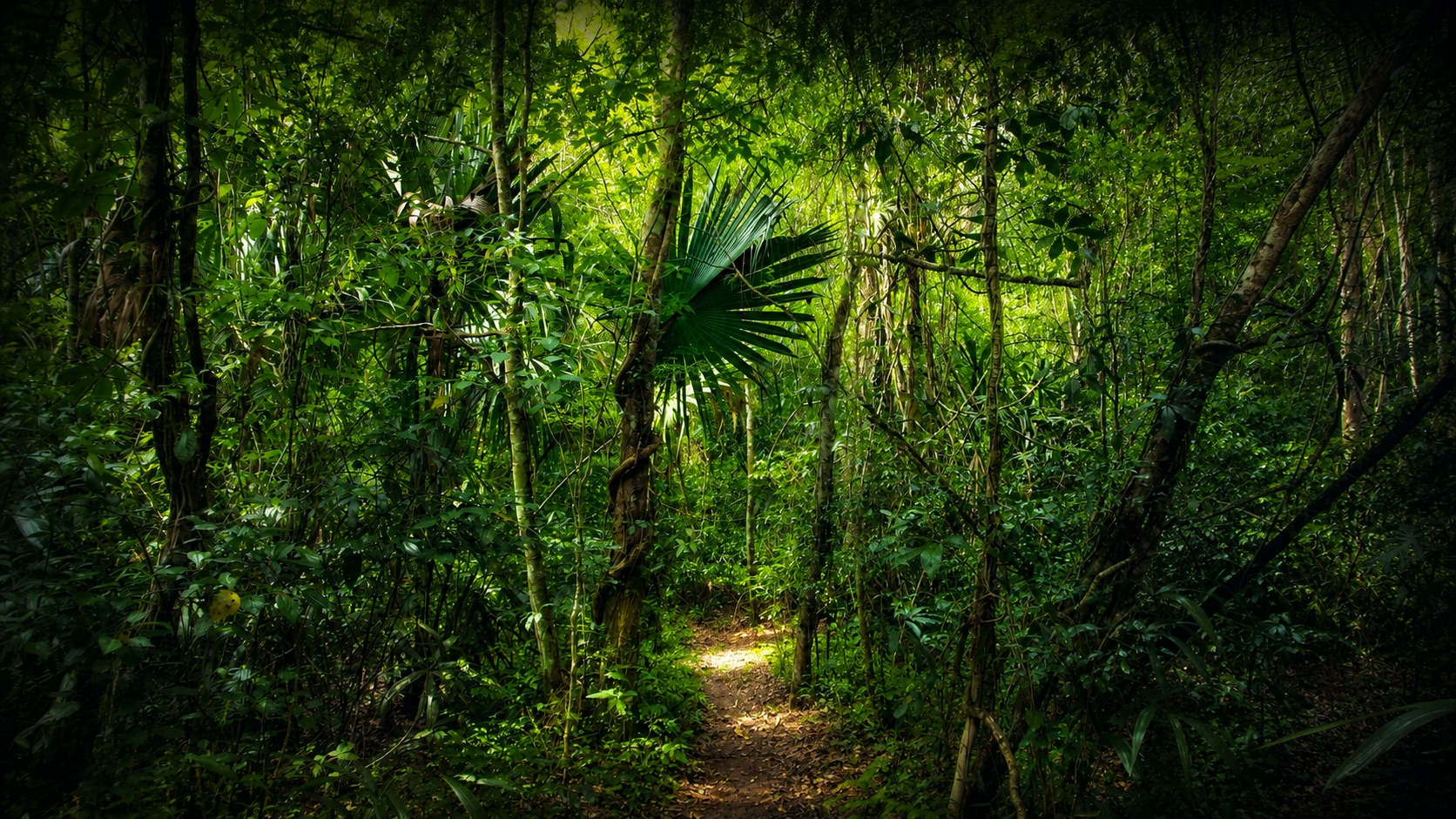
The city was built on the shores of the Laguna Yaxhá. It is surrounded by the original subtropical rainforest of a vast nature reserve, the Parque Nacional de Yaxhá-Nakum-Naranjo. The area of this reserve is 371.6km², which corresponds to approximately 37000ha. The park is adjacent to other nature reserves and is part of the “Biosphera Maya,” a cross-border sanctuary that connects the countries of Mexico, Belize, and Guatemala.
Following Tikal and El Mirador, Yaxhá was the third largest Maya settlement in Guatemala. The first report about the city originates from Teobert Maler, who visited the site in 1904.

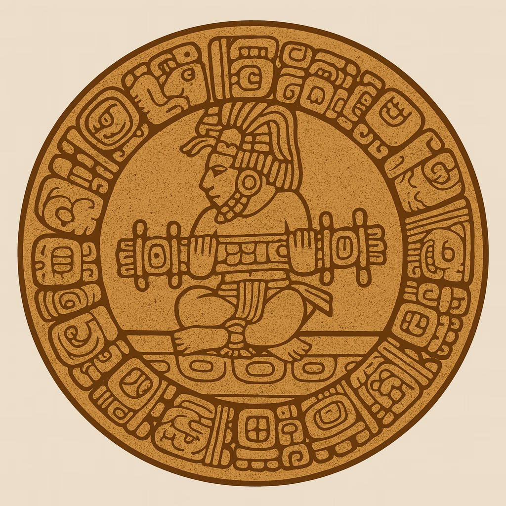
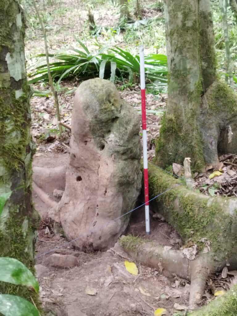
Restoration work began in the 80s of the last century. Nine, of the more than five hundred identified structures, are temple pyramids. About 40 stelae, some with inscriptions, have been discovered here.
DESCRIPTION OF THE MAYA SITE
Four Sacbeob have been found in Yaxhá, connecting the primary centers of the city. It is good to know the location and the direction of these ancient processional streets, as they still form the connecting routes between the individual groups of buildings.

CALZADA DEL LAGO
This is the oldest of the Sacbeob. It starts at the lakeside of Lago Yaxhá and runs northwards into the center of the city. The Calzada del Lago was already built in the late pre-Classic and was renewed several times. The extension of this causeway is then called Via 5. It is believed that this Sacbé was initially the official city entrance running from a pier at the lake up into the city.
CALZADA BLOM

North of the city center begins a Sacbé called Calzada Blom, which leads from here to the Maler group in the north. Franz Blom was a researcher who studied the small folklore of the Lacandon Maya from the 1930s on. His home in San Cristobal de las Casas in the highlands of Chiapas was transformed into a museum about this ethnic group.
CALZADA GALINDO
The Sacbé named after a Central American researcher and officer runs in a north-south direction. It starts in the north at the Eastern Acropolis and ends in the south at Plaza C.
CALZADA LINCOLN
The Calzada Lincoln is the first Sacbé to encounter from the entrance of the site. It runs from Plaza C to the northwest and meets Plaza D, on the edge of the city center.
GETTING AROUND
Coming from the entrance, you first reach the Plaza C. Here is a so-called E-group, which was used for astronomical purposes.

E-GROUPS
E-group complexes are commonly found in Maya sites. The term Egroup has to do with the fact that the first complex of this type, which was identified in Uaxactun, north of Tikal, was given the designation “Group E.” It is the oldest type of architectural complex whose appearance can be seen from the middle pre-classical period on. E groups served the Maya as tools for astronomical observation and calendar determination. Several structures were arranged so that one could determine or observe the sunset on the equinoxes and on the solstices from an eastern observation platform. This was done by targeting various structures built west of the platform.
The path forks behind Plaza C. On the left, Calzada Lincoln leads to Plaza D and the city center. On the right, a massive wooden staircase leads up to Plaza B. The latter way is the one my site description follows.
Eastern Acropolis
Once you have reached Plaza B, you see the embankment of the Eastern Acropolis on the right side. Going on and keeping to the right, another wooden staircase leads up to the square in front of Temple 216.

From here, another wooden staircase leads up to the top platform of this temple.
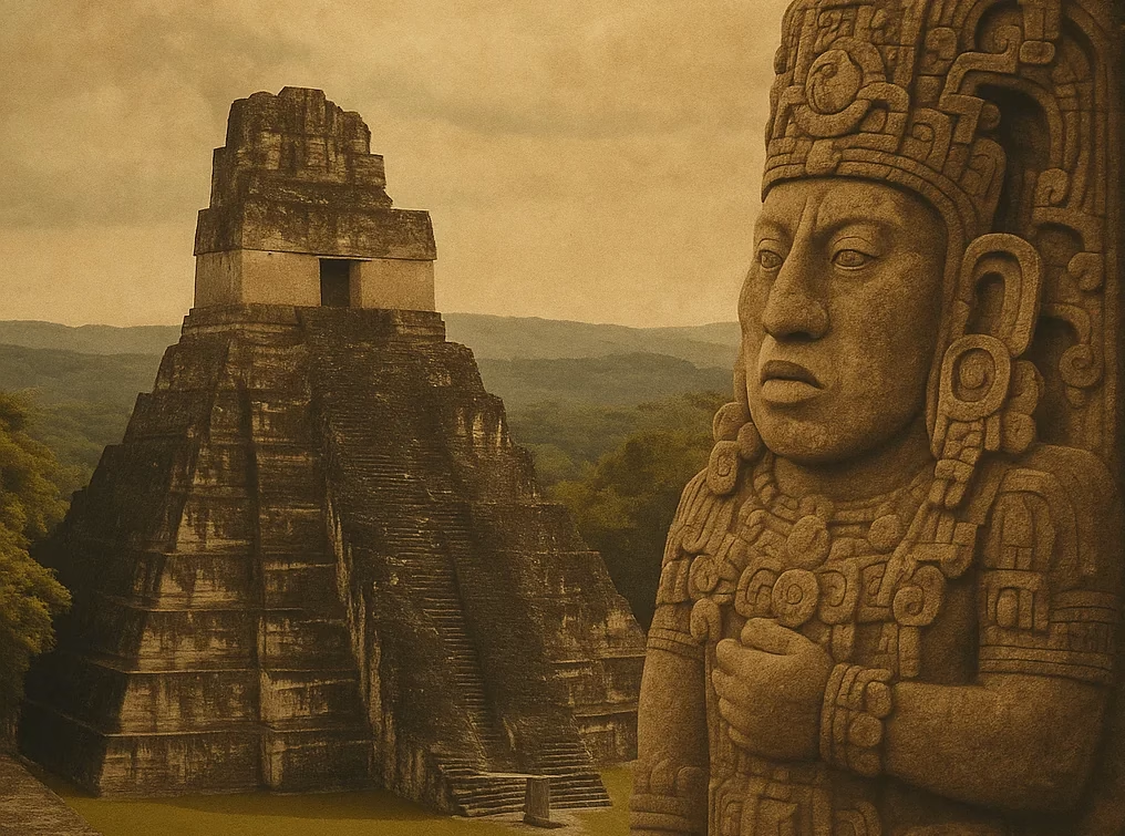
Temple 216 is the highest point of the city. From here you have an excellent view of the lagoon. Other ancient buildings stand out from the jungle.
The construction work on the eastern acropolis began already in the middle pre-classic phase on a limestone hill. The old components, initially designed in a triadic way, were extended continuously and several times overbuilt, until the end of the classical period.
The pyramidal substructure of Temple 216, including the upper temple building, is 30 meters high and the tallest structure to be found in Yaxhá. In addition to Temple 216, there are several palace buildings on the Eastern Acropolis.
When you descend the stairs of Temple 216 and the Eastern Acropolis again and turn to the north, you will find Plaza A. Here you will see the remains of a twin pyramid complex. Otherwise, this kind of compounds is known only from Tikal and its immediate surroundings. In Tikal, twin pyramids were built every 20 years to celebrate the change of the Katun, a 20-year period, in the calendar cycle. More details about the twin pyramids can be found in the chapter about Tikal.
Norther and North-Eastern Acropolis
After passing between the still unrestored twin pyramids, the path turns left in western direction. After passing additional unrestored structures, you reach the ball court. There you turn right to the also not restored Acropolis Noreste and continue walking until you reach the Acropolis Norte.
The pyramids of the Acropolis form a triad and were part of an E-complex too. The pyramids were built in the late pre-classical period and later overbuilt, which can be seen on a shaft dug into one of the monuments.

Montezuma Oropendola birds
Maler Group
To the right, passing the middle of the pyramids to the north, you finally reach the Maler group. This group consists of several well-restored pyramid temples. Particularly interesting is that, at least during my visit, a colony of Montezuma Oropendola birds lived on the edge of the Plaza Maler. These songbirds belonging to the family of the Icterid birds build hanging nests similar to the weaver birds.
From the Plaza Maler, walk southwards on the Calzada Blom to get back to the city center. At the end of the Sacbé, you come across a barely exposed but rather tall structure, which you can climb over a wooden staircase. Again, this gives you a beautiful panoramic view over the jungle.
Southern Acropolis and the Lake
After you walk around this structure on the right side, you can continue southwards along “Via A” to the Acropolis Sur.
If you still have some power, you can go down the Calzada del Lago until you reach the lake and of course later then, back up to the Acropolis Sur again. South of the Acropolis Sur, the path leads to the east. If you come back from the lake, you have to go right in front of the Acropolis.
Finally, you get to Calzada Lincoln, which leads you back south to Plaza C and thus to the entrance.
The entire route covers an estimated 5 to 6 km. Also, there are about 100 vertical meters, because of the pyramids and the lagoon. Having a bottle of water with you is appropriate. Also, firm shoes and long pants, as protection against bites of all kinds, are recommended.
Historical Overview
From 600 BC to 900 AD, during 1600 years,Yaxhá was inhabited.
PRE-CLASSIC
Yaxhá had already reached a remarkable size in the pre-classical period.
The strategic location on one of the leading trade routes between the Caribbean and the Petén area is likely to have encouraged this development.
EARLY CLASSIC (250 AD – 600 AD )
After the conquest of neighboring Tikal by troops of the Central Mexican Teotihuacan, Yaxhá seems to have been influenced by this Mexican state. At the end of the early classical period, earthquakes in the Yaxhá region seem to have led to significant destruction.
LATE CLASSIC (600 AD – 900 AD)
Of course, the war between Tikal and Calakmul going on during this period also affected Yaxhá, which was allied with Tikal. Naranjo, allied with Calakmul, defeated Yaxhá around 710 AD only to be beaten then by Tikal. Despite numerous conflicts, the time of the late Classic was also a time of increased construction activity.

POST-CLASSIC
Unlike other lowland locations, Yaxhá’s existence did not end abruptly, but rather slowly. Findings from the post-classical time are proven but may be remains of visitors from Topoxté, a small post-classical settlement on an island in LakeYaxhá, which was inhabited until 1450.

Nature reserve
In addition to the monuments, the surrounding nature in Yaxhá is also imposing. About 200km² includes the nature reserve in which Yaxhá is located.
Between the buildings you move in a park-like cleaned forest area, which gradually turns into the primeval forest, the further you walk away from the edifices.
In addition to exotic plants, orchids, bromeliads and tillandsia, you can see and observe different species of tropical birds, reptiles, mammals and of course insects in their natural environment. The lake is home to some crocodiles, so you should do without swimming activities. As mentioned before, at the Maler group you may see Montezuma birds and their hanging nests. If it keeps rustling in the treetops, then you probably have to deal with a horde of howler monkeys.
Travel Advice
Few tourists find their way to Yaxhá. Therefore, the infrastructure is not developed to the same extent as it is the case with Tikal. It is recommended to book the trip there via one of the tourist offices in Flores.
I found it very useful to meet Dieter Richter in Flores, who runs a small restaurant called Café Yax-Há there. Dieter, a German architect, was involved in the investigation and restoration of the ruins of Yaxhá and, provided he is on the spot, can give valuable tips on visiting this and other Maya cities to the interested traveler. He and his team also organize tours to the various Maya sites in the surrounding area.
Yaxhá is challenging to reach by public transport. From the main road leading to the Belize border near Melchior, one would have to walk several kilometers of gravel road before entering the Maya site. If you are traveling in a group, then it can make sense to rent a taxi together.